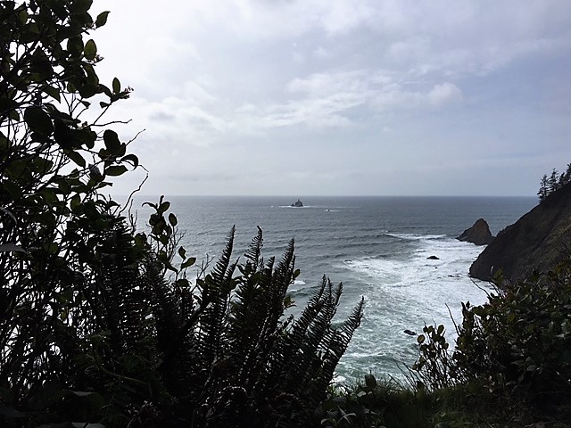
It’s been a long time since I’ve posted a new hike, so I was happy to accompany my family on a hike on Tillamook Head in Oregon. The trail starts at Indian Beach in Ecola State Park and makes a loop through the rain forest. Even before starting the hike, the park offers spectacular views of the Pacific Ocean. During part of the hike, you are high above the ocean and have a view of the Tillamook Lighthouse (or Terrible Tilly) way out at sea.
You can take the loop either way. Both ways involve a trek uphill on the way out and downhill on the way back, but I understand from my brother that the more eastern side of the loop has a steeper grade.
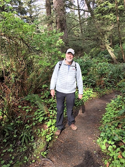
We only did part of the westernmost loop, because I hadn’t hiked in a long time and was out of shape for the steady uphill. We stopped at the view of Tillamook Lighthouse and turned around.
Clatsop Loop Trail from Indian Beach
Ecola State Park in Cannon Beach, Oregon
Distance: 2.8 miles (we went in about 0.8 miles and then turned back)
Difficulty: moderate

Panting stops: 6 or 7
Elevation changes: 784 feet

Ecola State Park is a beautiful rainforest park near Cannon Beach, Oregon. However, almost every year during the winter it closes up because of roads being washed out or other reasons. So, if you decide to go, be sure to check to see if the park is open. Even if it is closed, however, locals park their cars in the neighborhood outside the park and walk in, because the winding roads through the rainforest take you through beautiful territory. However, that’s another hike. We actually went in planning to walk the roads but found to our surprise that the park was open, as it had been closed just recently.
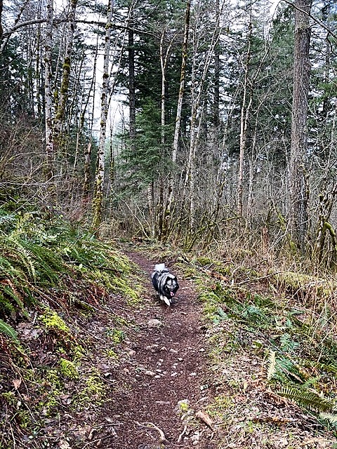
Once in the park, we drove to Indian Beach. Even in the parking area, there are gorgeous views of the cliffs and ocean, and many people go just a short way up the Clatsop Loop trail to be able to see the views of Haystack Rock from a little higher up. Doing that involves a steep but short walk up the western loop of the trail. The trail is paved on the eastern side of the loop but although the western side is not rough, it is dirt and can be very muddy in places. The worst puddle is right after you depart from the eastern loop.
To get to the loop trail, walk toward the bathrooms. It begins just after you pass them.
The steepest part of the western side of the loop is at the beginning up to that first lookout; however, it is pretty much all uphill, which is very hard on me. The path begins to flatten out just before you reach the view of Tillamook Lighthouse. That is where we turned back. I believe the path goes uphill some more and the loop reaches its apex at a camp for hikers. Near that point, it joins another trail that goes four miles to the North Tillamook Head parking lot or you can go back down the other edge of the loop.
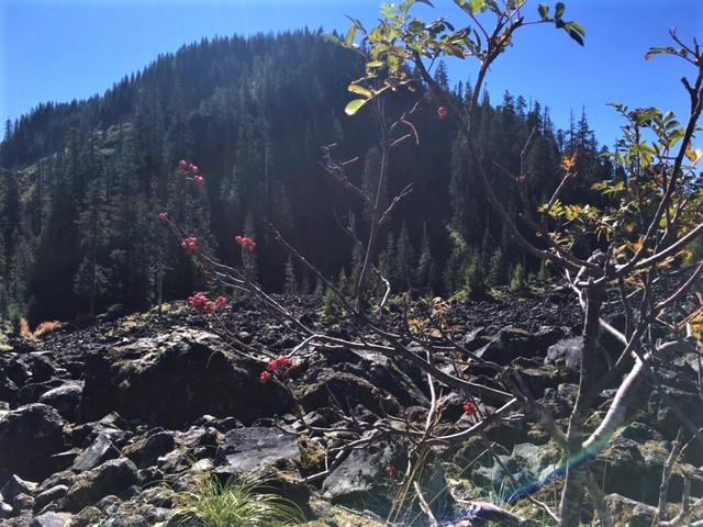
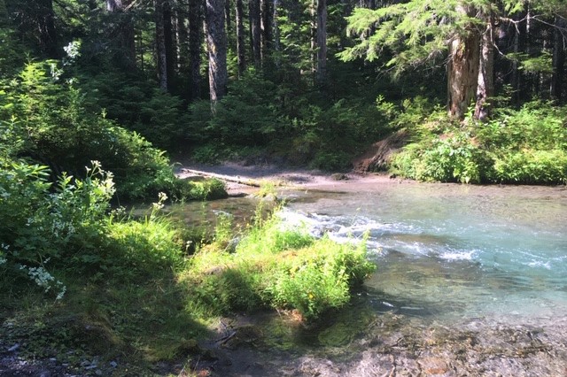
The rainforest is lush and gorgeous at all times of year. We were hiking in the April. It was quite wet and muddy on the trail, but we saw huge trees and a herd of elk on the roads driving through the park.
How to get there
From Seaside
Drive south on Highway 101 until you see the signs for Ecola Park on your right, about 9.6 miles from the center of town. Follow the signs through a neighborhood and enter the park to the right. Then follow the signs to Indian Beach.
From Cannon Beach
Drive north on Highway 101 until you see the signs for Ecola Park on your left, about 3 miles from the center of town. Follow the signs through a neighborhood and enter the park to the right. Then follow the signs to Indian Beach.
Parking and facilities
At Indian Beach there is a parking lot with room for about a dozen cars. There are picnic tables there and a bench at the first lookout. There is beach access. Pets are allowed on a leash. There is an accessible bathroom with flush toilets.
However, large motor homes are discouraged from entering the park, as the roads are narrow, at times only one lane wide, and twisty. My brother saw a huge motor home down in a ravine last winter, so this “discouragement” is no joke.